FREE Clyde Walkway app launches
65 km of trail opened up to digital users
A FREE app, detailing the 65 km stretch of the Clyde Walkway between the vibrant city of Glasgow and the largest waterfall in the UK at the Falls of Clyde has been launched, allowing walkers and cyclists to explore one of Scotland’s Great Trails.
Available to download from the app store and the google play store, the Clyde Walkway app invites users to make their own way along the fascinating route, depending on their interests and time available for traversing the route. Working on GPS, app users can chart their progress on the route as they go, even through rural areas with limited mobile signal.


The route passes many points of natural, cultural and industrial heritage interest which the app provides information on, allowing users to untangle the fascinating and rich story of the River Clyde.
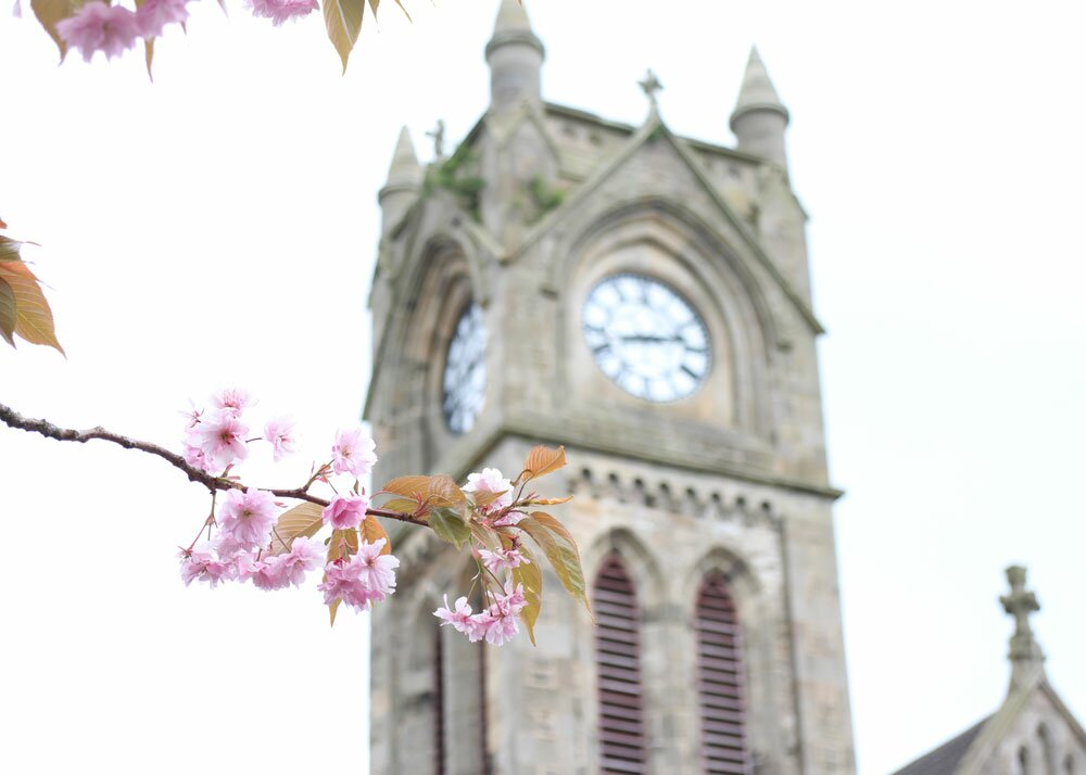
Enjoy the juxtaposition of Glasgow’s iconic historic and modern architecture from the banks of the Clyde which now host a rich variety of wildlife. Traverse from the urban city to rural countryside passing along the way through mature woodland and farmland, through orchard country and spectacular wooded gorges to New Lanark World Heritage Site and the four Falls of the Clyde, taking in castles, Roman ruins, and designed landscapes, along the way.
Highlights include; the city centre and waterfront within the city once known as the Second City of the Empire; stunning ancient woodland in the Clyde Valley National Nature Reserve (NNR); RSPB Baron’s Haugh and Dalzell Estate; one of Scotland’s grandest historic designed landscapes at Chatelherault Country Park; Bothwell Castle and the David Livingston Centre; Cunningar Loop Forestry Commission Community Park; and the Falls of Clyde and New Lanark UNESCO World Heritage Site.

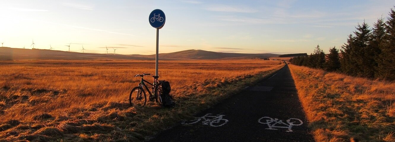
The Clyde Walkway app breaks the route into five manageable stages, with transport and parking information for start, end and alternative starting points and main transport hubs along the route. The app also details crossover points with the National Cycle Network routes (NCNRs 7, 75, 756 and 74), local path networks including the recently upgraded Clyde Walkway Community Links routes which link the communities of Larkhall, Ashgill, Carluke, Law and Lanark to the Clyde Walkway.
The app was created on behalf of Glasgow City Council, North Lanarkshire Council, South Lanarkshire Council and Heritage Lottery Fund and LEADER supported Clyde and Avon Valley Landscape Partnership (CAVLP) by Red Paint Media.

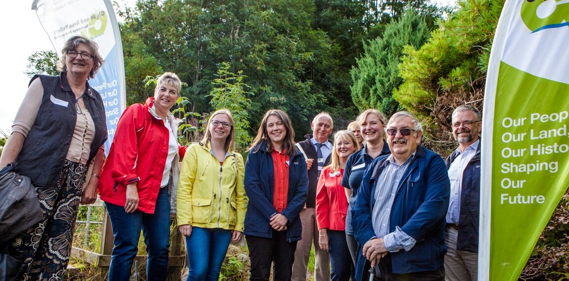
Donna Marshall, CAVLP Programme Manager says, “We are thrilled to launch this fantastic and free resource for locals and visitors alike. The Clyde and Avon Valley Landscape Partnership exists to celebrate the unique landscape and cultural heritage of the Clyde and Avon Valley, and the app does just that. We hope to see a rise in visitors using the Walkway throughout the year, enjoying the carpets of bluebells and orchards in bloom in spring, the lush green summers, the magical patchwork of golden autumnal colours and sharp, crisp winter days.”
Simon Pilpel, Access and Development Officer at South Lanarkshire Council, says, “The development of the app marks the next step in the promotion of the Clyde Walkway as one of Scotland’s Great Trails. It will provide users with enhanced and interactive information about the route, features of interest and other service information we hope they find helpful.”
Glasgow City Council’s Outdoor Access Officer, Sue Hilder, says, “As a long-distance route, the Clyde Walkway gives walkers the opportunity to travel off-road through some of the Central Belt’s most beautiful countryside all the way into Glasgow City Centre, with its iconic buildings and vibrant riverside. The new app provides handy, interactive information to help them explore the special qualities of the route.”
“The Clyde Walkway app is an exciting new way to encourage people to get out and about and enjoy our wonderful countryside and visitor attractions along the river,” says Vicky Abernethy of North Lanarkshire Council. “It’s the ideal way to navigate the route, on foot or by bike and using public transport.”
Information on each stage is given below.
Stage 1: Glasgow City Centre - Cambuslang Bridge

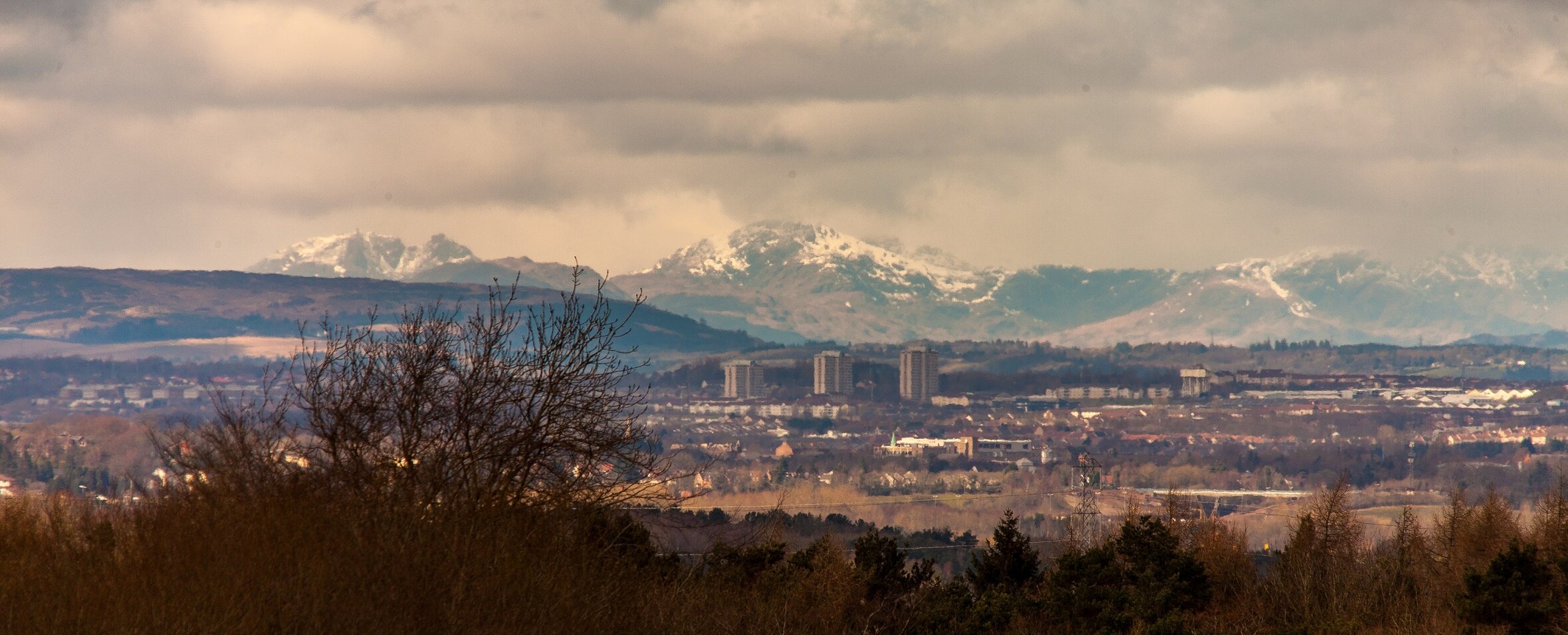
The character of the 17 km long stage one is markedly different from the rest of the route. It snakes from Glasgow’s leafy West End in Partick, to Cambuslang in the east, offering opportunities to zig zag between the city’s numerous bridges and providing the most facilities out of all the stages.
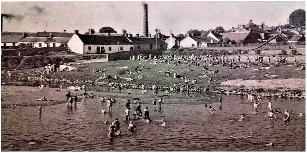
This stretch takes in impressive viewpoints of some of the city’s most iconic buildings such as the SECC, The Hydro, Tall Ship and Riverside Museum, the former Templeton’s Carpet Factory and People’s Palace and Winter Gardens. But Glasgow is not named the Dear Green Place for nothing – the river is an important wildlife corridor, and sightings of kingfishers, dippers, roe deer, otters and even seals (further downstream) can be expected. Cyclists can enjoy use of the nextbike bike hire scheme.Stage 2: Cambuslang Bridge - Strathclyde Country Park

The 12 km part of the route passes through a mixture of rural and urban areas, marking the transition from city, to suburbs and towns, to countryside. It passes through Uddingston, Bothwell, Blantyre and the sprawling Strathclyde Country Park, taking historical sights such as Bothwell Castle and the Roman Bath House at Strathclyde Country Park, and offers access to other attractions such as the David Livingston Centre and Hamilton Mausoleum.
Stage 3: Strathclyde Country Park - Cardies Bridge

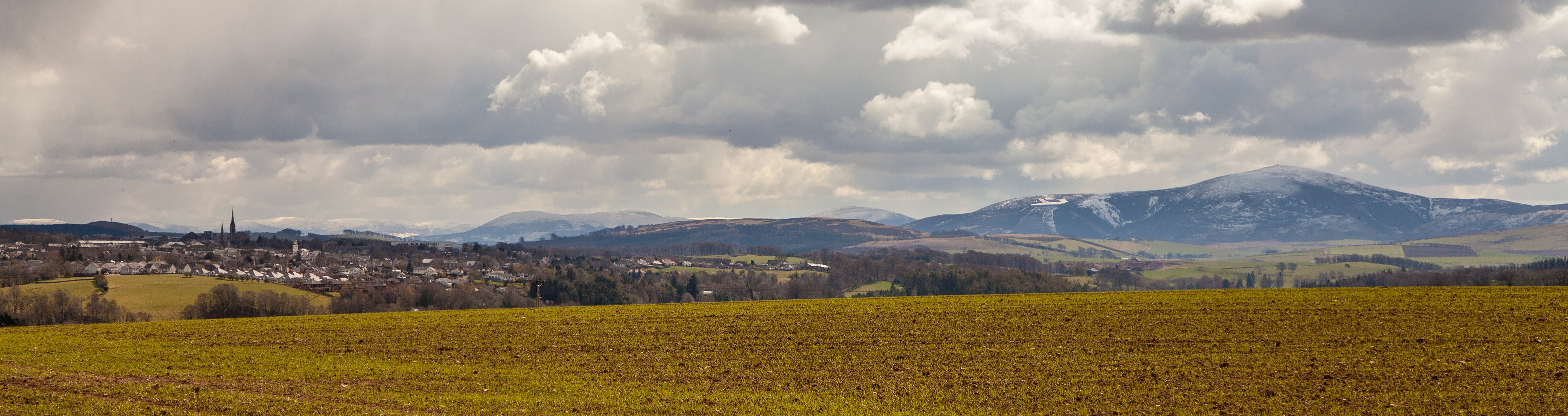
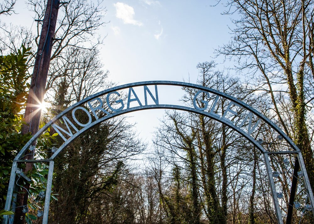
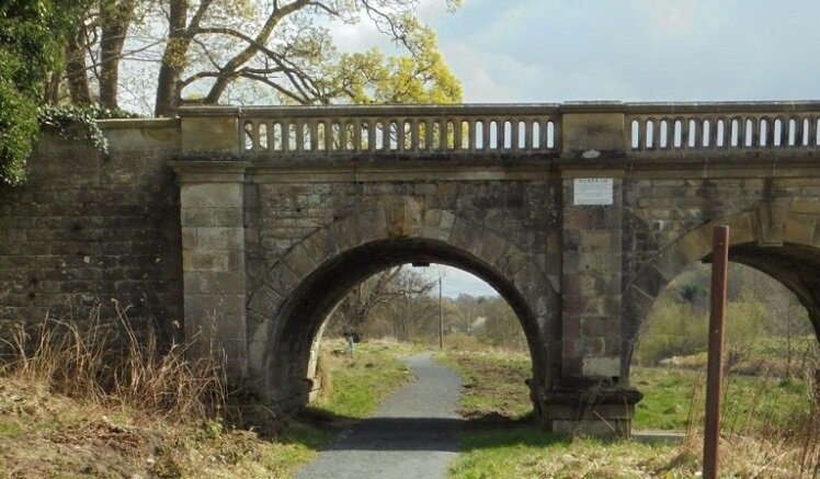
This 13 km mid section of the Clyde Walkway passes through mature woodland and farmland, including two of six woodlands that make up the Clyde Valley National Nature Reserve (NNR) at Mauldslie Woods and access to Chatelherault Country Park - one of Scotland’s grandest designed landscapes as grounds of the former Hamilton Palace.
The Clyde Valley NNR is one of the most significant remnant ancient woodlands in Scotland which contain a breath-taking array of native flora and fauna.
This stage also includes access through RSPB Baron’s Haugh and Dalzell Estate, where walkers can spend hours spotting wildlife and pay a visit to the oldest tree in North Lanarkshire, the Covenanter’s Oak.
Stage 4: Cardies Bridge – Crossford

At 9.5 km, this is the shortest stage of the Clyde Walkway, passing through varied woodland and farmland, taking in fine examples of Clyde Valley Estates and designed landscapes at Mauldslie and Waygateshaw.
This part of the Clyde Valley has been a fruit growing area since Medieval times and the surviving orchards are best viewed during April and May when the blossoms are at their best.
Worthwhile diversions include; heading up the steep incline of the Lower Nethan Gorge to Craignethan Castle; paying respect to the Father of the Ordnance Survey, Major General William Roy, at his birthplace near Carluke; and taking in the unusual and picturesque village of Dalserf.
Stage 5: Crossford – Falls of Clyde, New Lanark

The four falls of Clyde have provided inspiration to artists, writers and historical figures throughout time including Wordsworth, Robert Burns, Sir Walter Scott and JMW Turner.
Their immense power led to New Lanark mills being built, now known worldwide for their ownership under socialist and philanthropist Robert Owen, who was a pioneer for workers’ rights during the industrial revolution
Download the FREE Clyde Walkway app by searching for ‘Clyde Walkway’ in the app store or google play store.


