Clyde Walkway Community Links: Crossford – Stonebyres – Nemphlar – Kirkfieldbank
Kirkfieldbank along the Clyde Walkway
Terrain: A mixture of pavement, wooded paths and farm tracks. Can be muddy after heavy rain. Some sections are unsuitable for horse riding and cycling due to the nature of the tracks.
Overview including alternative start / end points:
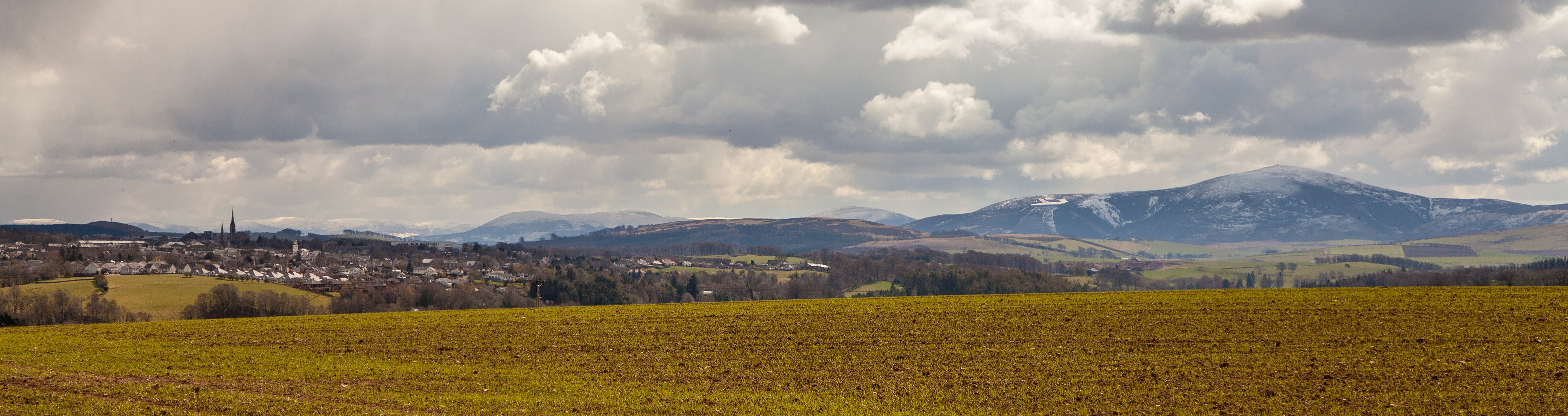
This is a lovely route following the Clyde Walkway from Crossford to Kirkfieldbank, or vice versa, with the opportunity to loop round by the picturesque village of Nemphlar, with elevated views over the Clyde Valley.
Crossford lies at the heart of what was once known as the Fruit Basket of Scotland. The highlight of this walk is Stonebyres Falls – the furthest downstream of the four falls that together are known as the Falls of Clyde. To some they are the finest of the four and are most clearly viewed in winter when the trees on the wooded gorge are bare.
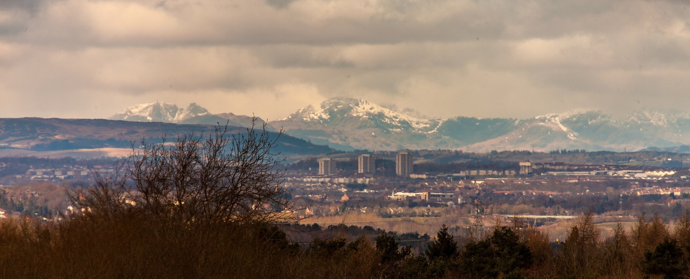
You could choose to keep following the Clyde Walkway at either end: upstream to the Falls of Clyde at New Lanark: downstream through Rosebank and Dalserf (link to CL trail), and beyond to Strathclyde Park, Bothwell, Cambuslang and Glasgow.
Stop in the Kirkfieldbank Tavern to admire Alasdair Gray’s 25 foot long mural, ‘The Falls of Clyde,’ (1969).
Distances
- Crossford to Kirkfield Bank Bridge via Stonebyres Weir - 6.2km
- Crossford to Kirkfieldbank Bridge via Nemphlar – 7km
- Crossford-Stonebyres Falls-Nemphlar circuit – 8.6km
- Crossford-Stonebyres Falls-Nemphlar: circuit – via Clydesholm Bridge – 8.8km
Start / park: You can park in the car park just off Smuggler’s Brig Road – turn left past the Clyde Valley Dental Practice and public toilets if following Lanark Road towards Lanark. If arriving by bus, the bus stops on the main Lanark Road, close to the car park, near the post office.
Public Transport: Take the 317 bus departing from Hamilton / Lanark and get off at Crossford. Check the Traveline Scotland widget (see right) for details on the frequency of services.
Facilities: Refreshments are available in Crossford and Kirkfieldbank. Please refer to www.visitlanarkshire.com for eating / drinking / staying recommendations throughout Lanarkshire.
Stages of walk:
1. Crossford to Clyde Walkway (500m)

From the car park, return to Lanark Road and go left in the direction of Lanark.
About 300m on, turn left for Braidwood, across Crossford Bridge over the Clyde.
Once over the bridge take the first right into Valley International Park. After a few metres take the path off to the right – you are now on the Clyde Walkway.
2. Clyde Walkway to Big Wood (1km)

This section keeps you alongside the river.
After about 500m if you look to your right you will see, crossing the Clyde, the picturesque Carfin Footbridge – a Victorian wrought iron suspension footbridge built as part of Carfin Estate which occupied the northern bank of the river at this point.
Little remains of the estate buildings other than the stables and walled garden which now form part of the disused visitor centre.
Keep following the Clyde upstream and go through a kissing gate where the path enters Big Wood.
3. Big Wood to Stonebyres Hydro-Power Station (2.5km)

Continue along the path, with the River Clyde to your right and Big Wood to your left.
Pass through Big Wood, crossing a timber bridge where Big Wood ends and the landscape to your left is opened up to rolling Clyde Valley farmland.
Keep following the path, over the timber bridge at Carlinside Strip.
The path now ascends high above the Clyde within woodland, and is delineated by decorative metal post and rail fencing on the riverside.
Eventually you will have a view of Stonebyres Hydro Power Station – the first of two (the other is Bonnington Hydro-Power Station) electricity generating stations built in 1927 to harness the power of the Clyde.
4. Stonebyres Hydro-Power Station to Stonebyres Linn (300metres)

A short distance ahead you will see Stonebyres Linn (Falls) – the furthest downstream of the four Falls of the Clyde (the others, going upstream, being Dundaff, Corra and Bonnington).
At 21 metres high, Stonebyres Linn is the first natural barrier to migrating salmon and sea trout on the Clyde, preventing them from reaching the waters of the upper Clyde.
(From here, instead of continuing with this guide, you have the option of staying on the Clyde Walkway to Kirkfieldbank and carrying on to New Lanark and the Falls of Clyde.)
5. Stonebyres Linn to Nemphlar (800m)

The path first ascends steps and then takes you uphill across the edge of a field, following the fence.
Cross over a stile and continue uphill on the overgrown track, making sure you turn round to enjoy sweeping views of the Clyde Valley.
6. Nemphlar to Mousemill Road (1km)

A VC memorial remembers a war veteran here.
Head east along Hall Road through the village of Nemphlar, following a right bend at Halltown of Nemphlar bastle house (partly fortified house, originating in the 16th century in the Scottish borders).
At the junction, about 330m along, go right into Welldale Lane, ignoring the dead-end road sign. After just under 200m the road becomes farm track.
Follow the track as it ascends and then descends again, along the beech lined avenue.
Look out for the stone bench on your right before the path begins to descend again and take the chance to rest your legs and take in more sweeping views of Lanark and the Clyde Valley.
7. Mousemill Road to Kirkfieldbank Community Orchard (1.5km)

The farm track eventually comes out at Mousemill Road – turn right onto this and then bear right at the junction just ahead.
After about 200m you will pass Mousemill on your right before crossing the Mouse Water via Mousemill Bridge.
In the past, the fast flowing Mouse Water was used to power mills and factories along its route and is still used today to produce hydroelectricity.
When Mousemill Road meets the busier A72 Lanark Road, turn right onto it and follow the pavement over Kirkieldbank Bridge, crossing the River Clyde.
Follow the pavements through the village of Kirkfieldbank with the Clyde on your right.
(Alternatively, you can choose to take a small detour via Clydesholm Bridge (pictured), adding on just under 300m: instead of crossing the main road bridge, cross the road and take the path to the left leading away from the road to some houses; go right onto Clydesholm Bridge and keep right to bring you back to the main road to re-join the main described route.
The old, three arched Clydesholm Bridge was built in 1699, and was the main crossing in the village before Kirkfieldbank Bridge was built in 1959.
It was designed by James Lockhart of the local Lockhart family, whose estate was centred on the Lee Castle near Lanark.
Heading along the A72, you will pass the Riverside Tavern to your left where you can stop off for a refreshment and to admire Alasdair Gray’s ‘The Falls of Clyde’ mural (1969), spanning the full 25 foot length of the wall.
Continue along the A72 passing on your left, Kirkieldbank Primary School, Nicholson’s Plastics and then a row of houses before coming to Kirkfieldbank Community Orchard, sloping up the hill from the road.
You might like to head into the orchard and up the small hill for a lovely view over the picturesque bend in the Clyde as it meanders towards Lanark.
8. Kirkfieldbank Community Orchard to Stonebyres Falls via Stonebyres Weir (footbridge) (700m)

From Kirkfieldbank Community Orchard, cross over the road to the pavement and continue along the A72.
After about 80m take the tarmac path to the right (leading away from the road) and through the metal gates.
In just under 400m take the path to right, over Stonebyres Weir, crossing the Clyde.
After another 180m you will have completed a circuit and returned to the path turning for Nemphlar (on your right).
Keep left, staying on the Clyde Walkway, passing Stonebyres Falls again and eventually returning to your start point in Crossford.
End:
Please respect the Scottish Outdoor Access Code. Scotland’s outdoors is managed by a variety of people and organisations and many of them earn their living from the land. It is all of our responsibilities to respect each other’s activities and interests in the outdoors.
As with all outdoor activities walking can present hazards. It is the access-taker’s responsibility to judge whether they can take access safely in any given situation. This route guide does not give any guarantee of path conditions.


