National Cycle Route 74: Strathclyde Park to Elvanfoot
NCR 74 in South Lanarkshire - linking to Glasgow in the north and to England in the south
Terrain: Partly traffic-free cycle paths, partly cycling on minor roads. All on tarmac surface. Some hilly sections.
Overview
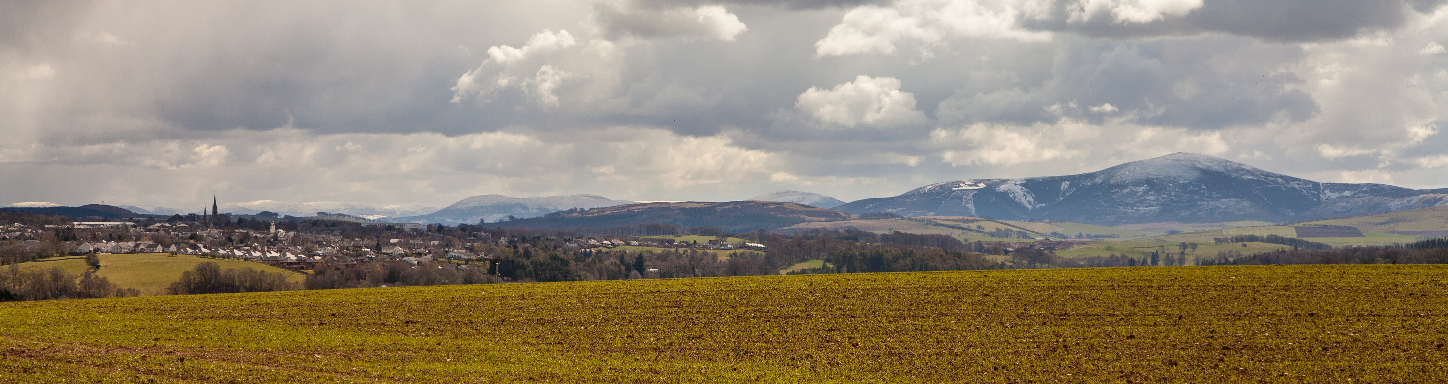
This ride uses a 60km section of National Route 74 of the National Cycle Network. It passes through much of rural South Lanarkshire, starting at Strathclyde Park and ending at Elvanfoot, near to the source of the River Clyde. As it is part of the National Cycle Network, it is signposted all the way with blue direction signs with a red / white number 74. Much of the route has been adapted from the old A74 dual carriageway to form a dedicated traffic-free cycle path. The traffic-free parts are suitable for families. The route is also popular with walkers and horse riders.
There are links to and from other cycle routes, the Clyde Walkway and various attractions from the route - please see individual stages for details, and click on the CycleStreets and OpenCycleMap links on the right to see how you can connect.
Whilst the route can be cycled in a day, for this guide it has been broken into shorter sections.
See information on the full route on the Sustrans website here.
Distances
- Strathclyde Park to Stonehouse - 13.6km
- Stonehouse to Lesmahagow - 11.1km
- Lesmahagow to Cairn Lodge – 8.7km
- Cairn Lodge to Elavanfoot – 26.6km
SECTION 1 - STRATHCLYDE COUNTRY PARK TO STONEHOUSE

Start/Park: You can park at Strathclyde Park Watersports Centre or in Hamilton Palace Grounds Retail Park. Toilets are available in the Watersports Centre.
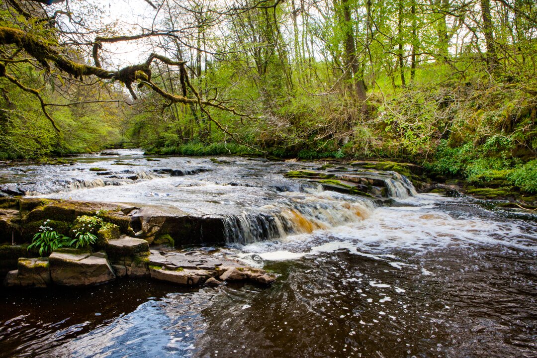
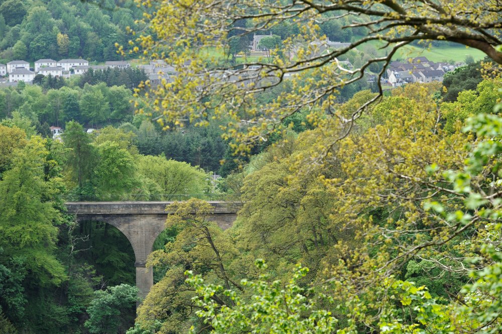
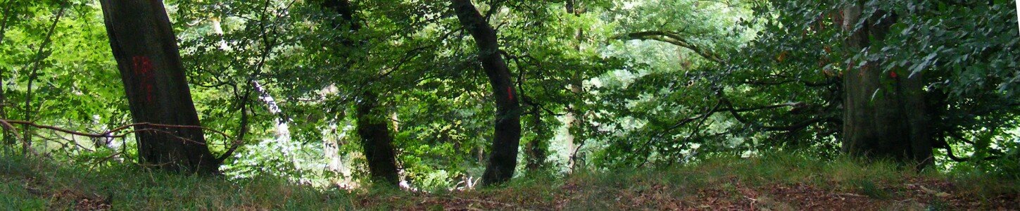
Public Transport: The nearest train station is Hamilton Central. Additional stations can be found along the route at Chatelherault, Merryton and Larkhall. Facilities: Refreshments are available in Hamilton, Chatelherault Country Park Visitor Centre, Larkhall and Stonehouse. Links to other attractions: Hamilton Low Parks Museum and Hamiton Mausoleum are close by the start of this section. Chatelherault Country Park and Visitor Centre is on the route. Links to the Clyde Walkway: The Clyde Walkway is only a short distance away from the start of this section, on the other side of the bridge at Strathclyde Park. Links to other cycle routes: The NCN74 continues westwards through Hamilton and Blantyre, and links to NCN75 which heads towards Glasgow in a westward direction and in an eastward direction, Edinburgh. At the northern side of Strathclyde Park there is a connection on to the Greenlink, a traffic free path which follows the South Calder Water up in to Motherwell. The start of the ride is at bridge behind Strathclyde Park Water sports Centre. Follow direction signs for Chatelherault Country Park and start to look out for National Cycle Network route ‘74’ signs. Remember you’re joining the National Route part way along its length so make sure you follow signs south rather than west toward Hamilton (and Glasgow). The traffic-free path goes through woods and under the main road. The path then turns south along by the Avon Water and after 2km crosses at Old Avon Bridge. Over the bridge, the path climbs steadily upwards into Chatelherault Country Park. Once in the park the old Hunting Lodge which forms part of the visitor centre is clearly visible at the top the hill. After 1km the path veers left and follows the park access road until it reaches the A72 main road. The route from there is along a traffic-free pavement adjacent to the road. Follow this for 3km and then take the signposted route through park on right. The route emerges from the park on to Burnbrae Street then left into Watson Street and right into Raploch Street. At the end of Raploch Street turn right and follow the road down to reach Millheugh Brae. From this point until Stonehouse village, the route is entirely on-road, following quieter back roads. At the bottom of the Brae you reach the Avon Water again. Turn left at the roundabout and go over the bridge then take the first left onto Millheugh Road. The route goes up a steep hill and onto minor road. After 4 km the route crosses over the Avon Water again and carries on up a steep hill into Stonehouse.SECTION 2 - STONEHOUSE TO LESMAHAGOW

Start/Park: The route starts at The Cross. Parking in square opposite.
Public Transport: No railway access.
Facilities: Refreshments are available at the start in Stonehouse, half way through in Blackwood and at the end in Lesmahagow.
Links to other attractions: Craignethan Castle is only 4km from this section of the route. The historic market town of Lanark and the World Heritage site at New Lanark are less than 10km from this section of the route.
Links to the Clyde Walkway: One of the major sections of the Clyde Walkway, from Garrion Bridge to Kirkfieldbank, lies only a few kilometres from this section of the route. This section starts at the main square in Stonehouse at The Cross. The first part of this section is on-road following minor back roads to the outskirts of Blackwood village. Take a sharp right then sharp left into Union Street, which becomes Spittal Road as it leaves the village.Continue on this minor road for 4km. Turn right just before Carlisle Road, onto the marked path. The route is traffic free for the next 2km.
Just before the village of Blackwood, the route joins the main road again. Be careful here as it can be busy.
After 2km the route separates from the main road and becomes a traffic-free cycle path for most of the way to Lesmahagow. After 1.5km the route goes round two roundabouts and emerges on Teiglum Road next to the entrance to Tesco Supermarket.
Back on-road again, the route follows Teiglum Road up the hill, left at the top into Strathaven Road and follow the blue and red 74 signs through the housing estate and down into Lesmahagow.
SECTION 3 – LESMAHAGOW TO CAIRN LODGE

Start/Park: The route starts on Abbeygreen in Lesmahagow village. Parking is available at various places in the village.
Public Transport: No railway access.
Facilities: Refreshments are available at the start, in Lesmahagow and at the end at Cairn Lodge Services.
Links to other attractions: Crawfordjohn Heritage Venture is only 4km from this section of the route.
Links to the Clyde Walkway: The start of this section is less than 10km from the start/end point of the Clyde Walkway at New Lanark. The section commences in Lesmahagow village, on Abbeygreen and is on-road for 2km.Follow the road through the village and cross over the River Nethan. Go up a steep hill and follow the blue and red 74 signs through a housing estate then down to reach Carlisle Road.
Cross over Carlisle Road on to a tarmac traffic-free, mainly flat cycle path. This is the newest part of the route, completed in 2016. Follow this for 5km, noting after 3km, the Millennium Milepost painted by children from Coalburn Primary School.
At a T-junction turn right and after a short way, left at the first roundabout and then right at the second. Cairn Lodge Services are on the right after 1km down this path.
SECTION 4 - CAIRN LODGE TO ELVANFOOT

Start/Park: This route section starts at Cairn Lodge Services. Parking is available at Cairn Lodge (time limited) or at nearby laybys.
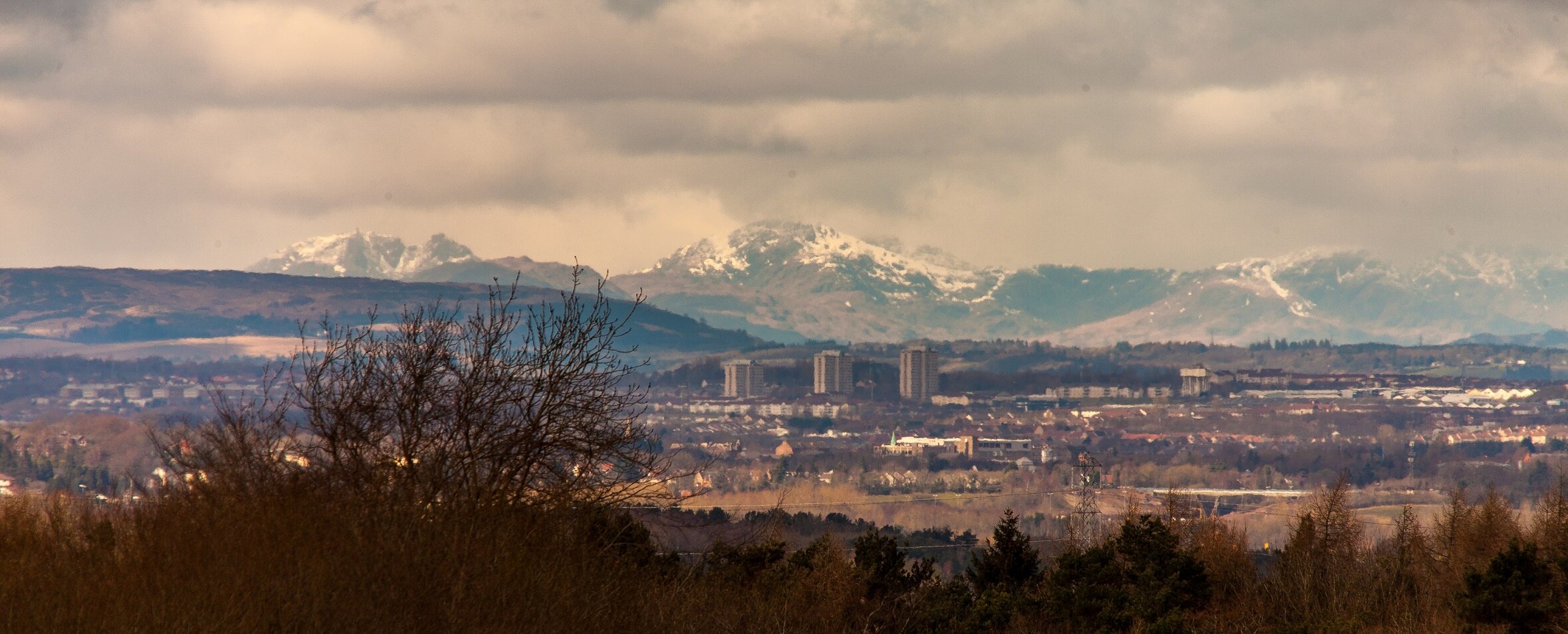
Public Transport: No railway access at this point. Facilities: Cairn Lodge Services, Abington Services and in Abington and Crawford villages. Links to other attractions: Leadhills and Wanlockhead Railway and The Museum of Lead Mining at Wanlockhead are only 9km from this section of the route. Links to other cycle routes: This section links on to the Lanark to Biggar cycle route, which itself links on to the Borders Cycle Routes. At the end of this section, NCN74 continues south towards Beattock, Lockerbie, Carlisle and, ultimately, the National Cycle Network in England. Cycle 1km south on a traffic-free path until you reach the roundabout at Ayr Road. Go round the roundabout and take the right hand exit. After the roundabout the path re-joins the road for a short distance. Cycle straight through at the next roundabout then take the first left on to B7078. Note further milepost on left. This Milepost was painted by a Sustrans staff member only a few days after David Bowie’s death and there is a tribute to him in the painting! Head straight up the hill on an on-road section for 2km. Although on road, the cycle route is clearly marked with a solid white line on this section. Shortly after the top of the hill, the road and cycle path separate. Continue on separate traffic-free cycle path for 10km until you reach the outskirts of Abington. The route here is undulating rather than hilly and can be quite exposed in adverse weather conditions. However, the views on a clear day to the Lowther Hills one way and Tinto Hill the other, are quite spectacular, as the route crosses over the bleak expanse of Red Moor. After re-joining the road and passing another milepost on the left, the route turns left at the first roundabout, then right at the second and down a road which can be quite busy at times to reach the village of Abington. Once through the village, the route is on-road for 4km until the roundabout just outside Crawford village. Take the second exit at this roundabout, and after 1km cross over the road on to a traffic-free path. This section finishes at the turn off for Elvanfoot, just below the upper reaches of the Clyde. The National Cycle Route 74 continues south from here until it finally links up with National Route 7 near Gretna which can be followed west through Dumfries, or east joining the extensive National Cycle Network in England.


