Shaping the Landscape: The Nemphlar Channel

An ancient dry valley formed during the last ice age

Filed under

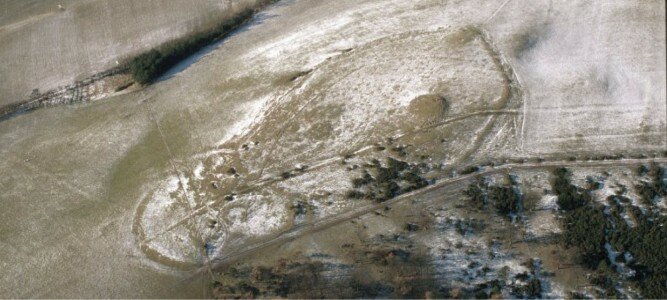
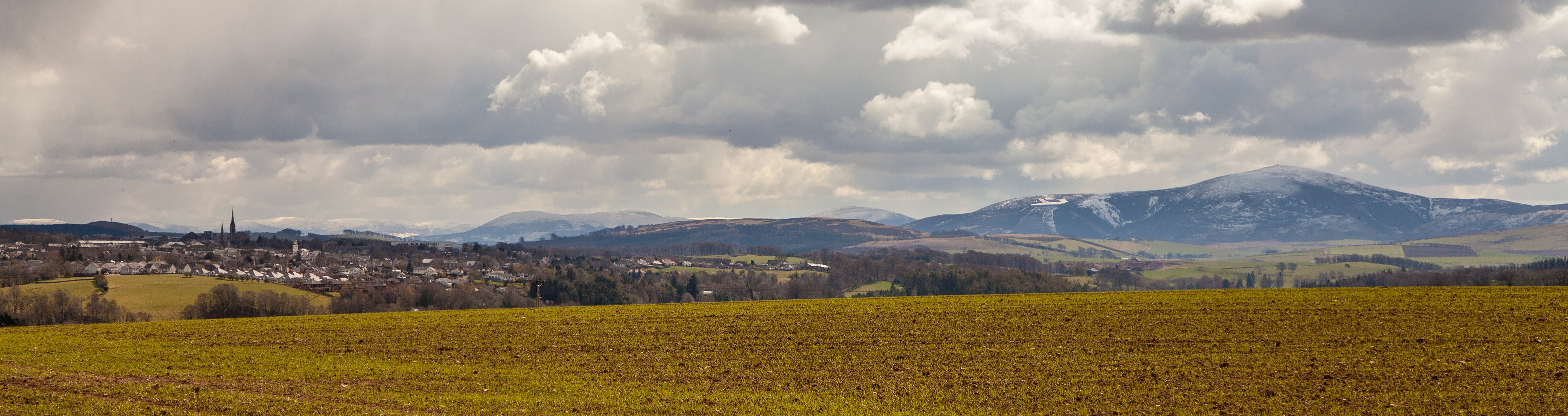
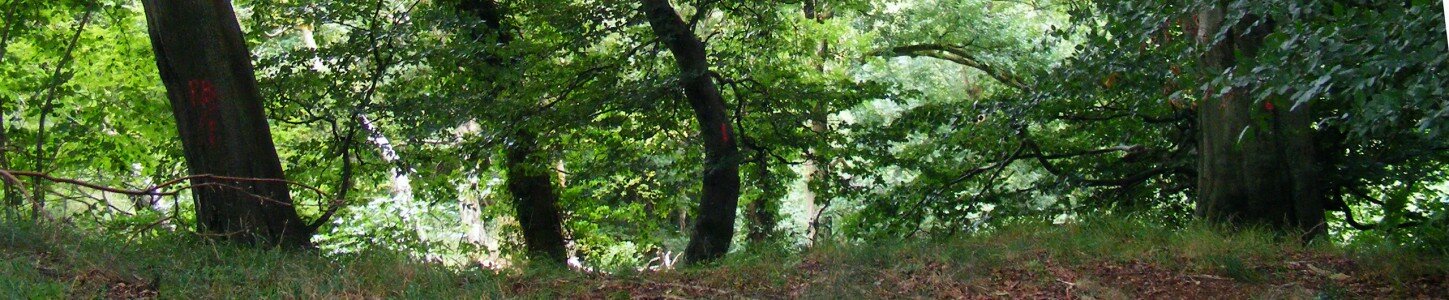
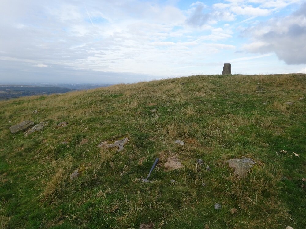
The Nemphlar Channel at Auchenglen is a 3 km long dry river valley which is thought to have once carried the Mouse Water north-west from Cartland Bridge to join the Clyde along what is now the lower reach of Fiddler Burn.

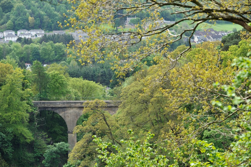
It is best viewed from Black Hill, or from the sweeping view across the valley at the hairpin corner at Cartland Bridge Hotel, as you leave Lanark and head along the A73 towards Carluke. The Channel is now intersected at its southern end by the gorge of the Mouse Water and its northern end by the deep cut of Fiddler Burn.

Map showing the possible former course of the Mouse Water along the Nemphlar Channel at Auchenglen. Elevation data copyright UKP/Getmapping License No. UKP2006/01

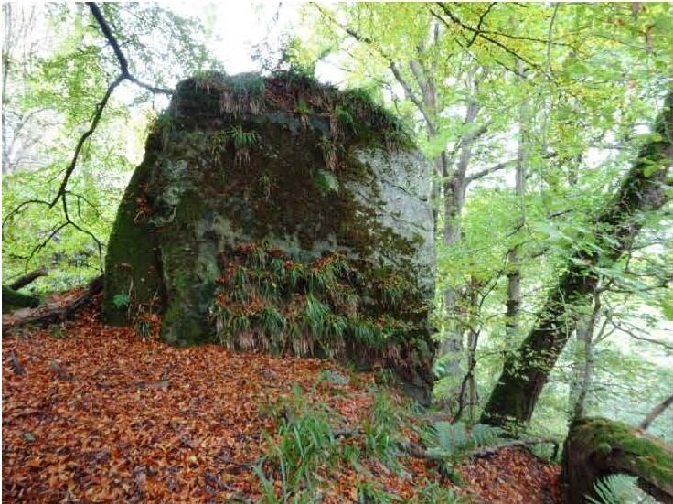
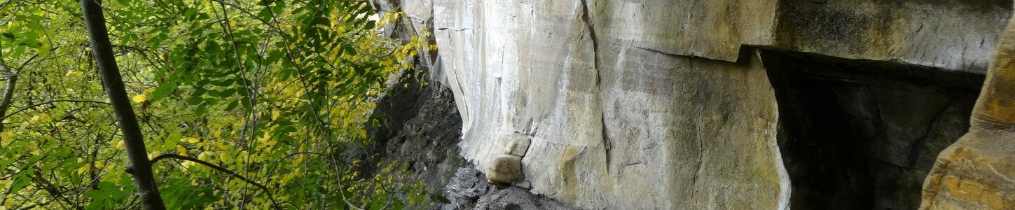
The Nemphlar Channel is partially infilled with glacial till, a deposit of compacted clay and stones formed under ice, which was left behind during the last ice age 20,000 years ago. The channel was likely abandoned when pressure from the melting glacier front forced the Mouse Water to cut a new course that burst through the narrow ridge separating the channel from the main Clyde Valley. As the ice retreated, the Mouse Water continued to flow in the new gorge to the Clyde, bypassing the Nemphlar channel.

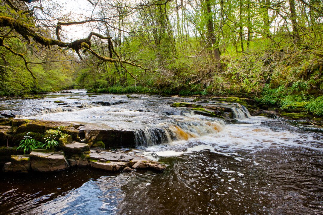
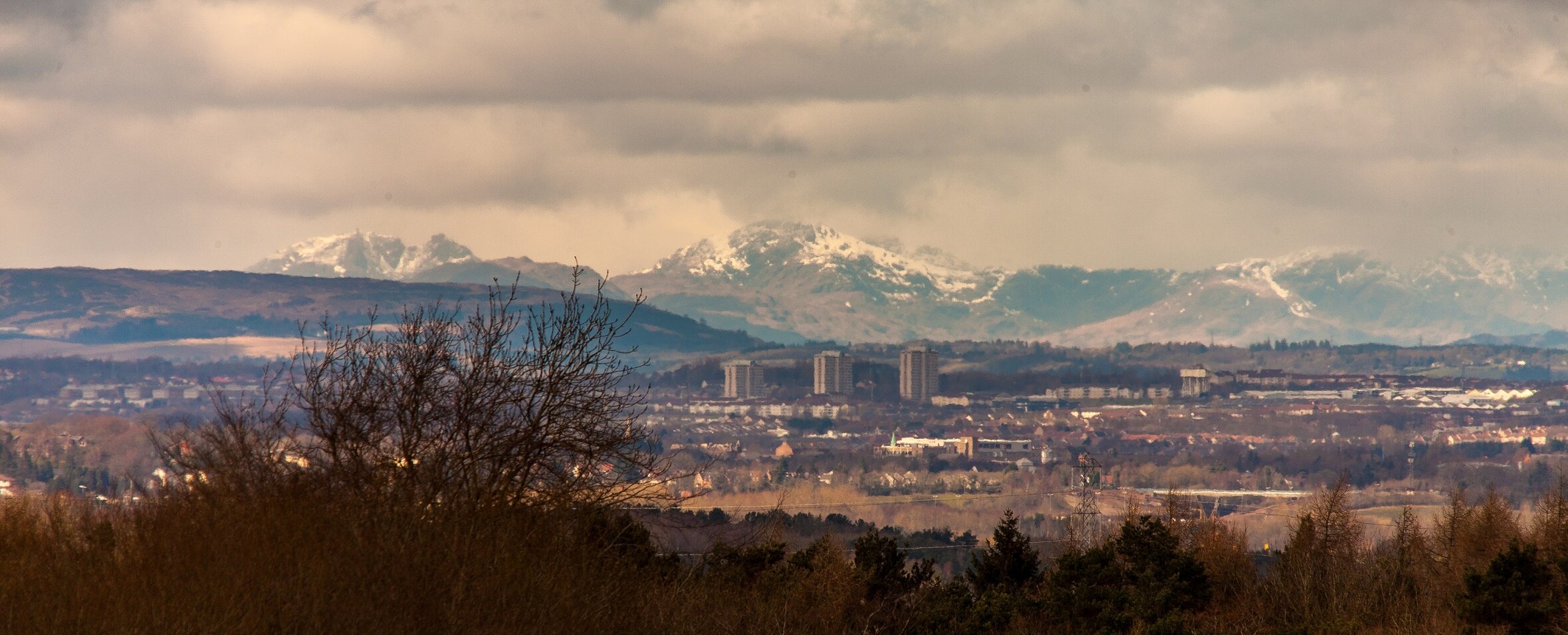
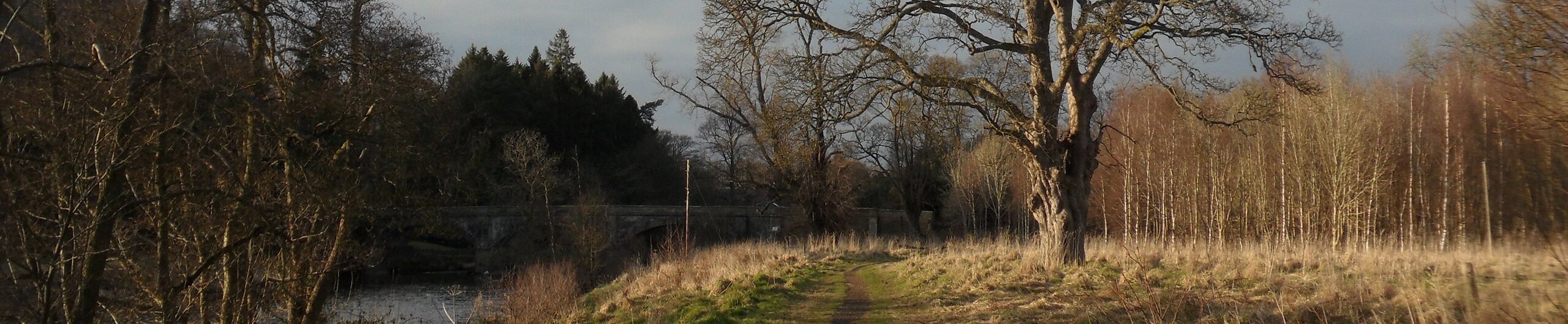
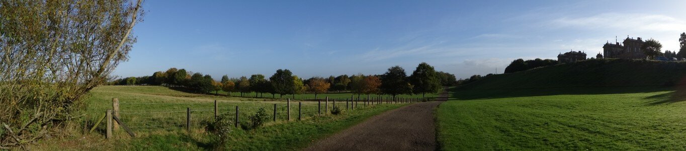
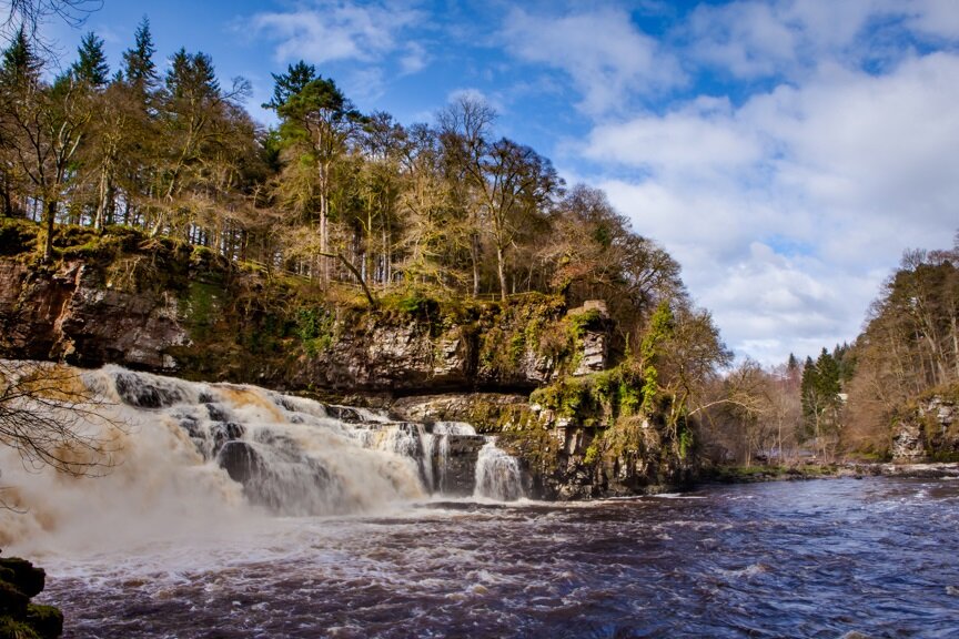
The alteration of river courses through the cutting of new valleys forms a characteristic feature of the Clyde and Avon Valley and is most easily viewed at the Falls of Clyde. Infilled valleys and deep gorges, along with the evidence for the formation of pro-glacial lakes, are found throughout the area, reflecting extensive reconfiguring of the drainage system during and after glaciation. The network of young valleys formed during this period include the deeply eroded channels of the Mouse Water and Avon Water, as well as many smaller streams, including Fiddler Burn and Garrion Gill.

The geological sites and features of the Clyde and Avon Valley tell a dramatic story of the development of the landscape over 400 million years, from ancient sandy streams, river deltas, swampy forests and glaciers. The rocks and rivers of this story shaped the heritage, and remain a source of power, havens for woodland and wildlife, and places of recreation and creative inspiration today.

Travel through time to reveal the hidden history in the rocks and landforms by exploring the other ‘Shaping the Landscape’ museum items. Read the full report by clicking on the ‘Shaping the Landscape Trail Report’ link under ‘Find Out More’, to the right. Whilst many ‘Shaping the Landscape’ sites are accessible to walkers, some sites are inaccessible, but featured as museum pieces to help demonstrate the development of the Clyde and Avon Valley.


Area Guide

Find Out More

You Might Also Like...


Shaping the Landscape: Sampson's Slingstane and Fiddler Burn

Shaping the Landscape: Sampson's Slingstane and Fiddler Burn

A mysterious boulder perched on a steep sandstone cliff

Archaeology Scotland

Archaeology Scotland

Investigating, informing, inspiring

Biggar & Upper Clydesdale Museum

Biggar & Upper Clydesdale Museum

Explore 14,000 years of rural and small town life in Upper Clydesdale.

Black Hill: More than just a Viewpoint

Black Hill: More than just a Viewpoint

Part of the Mapping the Past trail

Cartland Craigs Trail

Cartland Craigs Trail

A spectacular gorge in the Clyde Valley Woodlands NNR, which can be easily linked with Cleghorn Glen for a fantastic full day's walking.

Chatelherault Country Park

Chatelherault Country Park

A 'Jewel in the Landscape' and former hunting lodge

Cleghorn Glen Trail

Cleghorn Glen Trail

A taste of this wonderful oak and ash ancient woodland, with the option to explore further. Can be linked with Cartland Criags for longer walk.

Clyde Walkway Community Links – Nemphlar Moor Road to Braidwood

Clyde Walkway Community Links – Nemphlar Moor Road to Braidwood

Through gentle rolling landscape to the dramatic Fiddler’s Gill gorge

Clydesdale Mill Society

Clydesdale Mill Society

To research, excavate and protect historic, naturally powered mills in South Lanarkshire

Collieries: Mapping Underground

Collieries: Mapping Underground

Part of the Mapping the Past trail

Craignethan Castle Historic Environment Scotland

Craignethan Castle Historic Environment Scotland

Scotland’s last great private stronghold perched on the Nethan Gorge

David Livingstone Centre

David Livingstone Centre

Explore the storeys of stories about David Livingstone, famous Scottish explorer and missionary, in this birthplace museum of his life and work

Douglas Heritage Museum

Douglas Heritage Museum

Explore the history of this sleepy and historic village on the south bank of the Douglas Water

Falls of Clyde Historic Trail

Falls of Clyde Historic Trail

A historic guide for tourists, by Lady Geraldine Lockhart Ross

Friends of Cambusnethan Priory

Friends of Cambusnethan Priory

Sharing photos, stories and memories about Cambusnethan Priory before it is lost forever

Garrion Gill

Garrion Gill

A hidden ancient woodland clinging to the slopes of Garrion Gill.

Glorious Gardens: Mauldslie Castle

Glorious Gardens: Mauldslie Castle

One of the Valleys' grandest old estates

Historic Environment Scotland

Historic Environment Scotland

Investigating, caring for and promoting Scotland’s historic environment.

Lanark Heritage Trail

Lanark Heritage Trail

Lanark, where Heritage blooms - explore this bustling town & discover historic highlights

Larkhall Heritage Group

Larkhall Heritage Group

Promoting the heritage of Larkhall

Low Parks Museum, Hamilton

Low Parks Museum, Hamilton

Low Parks Museum in Hamilton is a 5-star museum under the Visit Scotland grading scheme, situated in the former Low Parks of the Duke of Hamilton's estates.

Mapping the Past Guide

Mapping the Past Guide

A guide to the cartographic heritage of the Clyde and Avon Valley

Mauldslie Woodlands

Mauldslie Woodlands

Follow the Clyde Walkway through the grounds of Mauldslie Castle

Mauldslie Woods Walk

Mauldslie Woods Walk

Nestled in the Clyde Valley between Rosebank and Garrion Bridge, containing remnants of the designed landscape of Mauldslie Castle.

Morgan Glen

Morgan Glen

A beautiful wooded gorge hosting Scotland’s highest railway bridge

National Museum of Rural Life, East Kilbride

National Museum of Rural Life, East Kilbride

Find out what country life was like for people in the past and how this shaped the working farms of today, in this five-star museum.

National Trust for Scotland Black Hill

National Trust for Scotland Black Hill

A spectacular viewpoint over the Clyde and Avon Valley with a Bronze Age history

North Lanarkshire Heritage Centre, Motherwell

North Lanarkshire Heritage Centre, Motherwell

Formerly Motherwell Heritage Centre, the building is now the main centre for North Lanarkshire’s extensive archives collection.

RSPB Baron’s Haugh

RSPB Baron’s Haugh

A wildlife haven on the banks of the River Clyde

Scotland's Garden and Landscape Heritage

Scotland's Garden and Landscape Heritage

Encouraging the protection and study of historic parks, gardens and designed landscapes

Scottish Wildlife Trust

Scottish Wildlife Trust

Protecting wildlife and restoring ecosystems across Scotland's land and seas.

Scottish Wildlife Trust Falls of Clyde

Scottish Wildlife Trust Falls of Clyde

Stunning nature reserve featuring the largest waterfall in Britain

Scottish Natural Heritage

Scottish Natural Heritage

All of nature for all of Scotland

Scottish Wildlife Trust Lower Nethan Gorge

Scottish Wildlife Trust Lower Nethan Gorge

Stunning woodland clinging to the steep Nethan Gorge

Scottish Wildlife Trust Upper Nethan Gorge

Scottish Wildlife Trust Upper Nethan Gorge

Peaceful, ancient woodland with a stunning variety of wildlife

Shaping the Landscape: Black Hill and Stonebyres Quarry

Shaping the Landscape: Black Hill and Stonebyres Quarry

Hill formed from cooling magma providing great geological look out

Shaping the Landscape: Cartland Craigs & Cleghorn Glen

Shaping the Landscape: Cartland Craigs & Cleghorn Glen

A deep gorge, a castle and the highest bridge in inland Scotland

Shaping the Landscape: Chatelherault and the Avon Gorge

Shaping the Landscape: Chatelherault and the Avon Gorge

A quintessential part of the area's mining history

Shaping the Landscape: Lower Nethan Gorge

Shaping the Landscape: Lower Nethan Gorge

Ancient river deltas and swampy forests

Shaping the Landscape: Morgan Glen & Millheugh to Fairholm

Shaping the Landscape: Morgan Glen & Millheugh to Fairholm

Subtle valleys exposing the stone through which the river cuts

Shaping the Landscape: RSPB Scotland Baron's Haugh

Shaping the Landscape: RSPB Scotland Baron's Haugh

Created by mining subsidence, now a haven for wildlife

Shaping the Landscape: Stonebyres Falls

Shaping the Landscape: Stonebyres Falls

Giant rock steps over which the Clyde tumbles

Shaping the Landscape: Thank the Rocks for the Trains

Shaping the Landscape: Thank the Rocks for the Trains

How geology led to the first local train lines

Shaping the Landscape: The Falls of Clyde

Shaping the Landscape: The Falls of Clyde

Dramatic falls show the power of ancient glaciers

Shaping the Landscape: The Nemphlar Channel

An ancient dry valley formed during the last ice age

Shaping the Landscape: Threepwood Quarry

Shaping the Landscape: Threepwood Quarry

Stoop and room workings to extract high quality sandstone

SNH Cartland Craigs

SNH Cartland Craigs

A deep hidden gorge cloaked in ancient woodland

SNH Cleghorn Glen

SNH Cleghorn Glen

A beautiful woodland set on the steep Mouse Water Gorge

South Lanarkshire Leisure and Culture Trust

South Lanarkshire Leisure and Culture Trust

Providing opportunities to enrich people’s lives

Stonehouse Heritage Group

Stonehouse Heritage Group

A fascinating insight to Stonehouse village history

Strathaven John Hastie Museum Trust

Strathaven John Hastie Museum Trust

Working to establish a lively community museum for the historic market town of Strathaven

Summerlee Industrial Museum, Coatbridge

Summerlee Industrial Museum, Coatbridge

Summerlee is the museum of Scottish industrial life and is based around the site of a 19th century ironworks.

The Clyde Walkway Stage 4: Cardies Bridge to Crossford

The Clyde Walkway Stage 4: Cardies Bridge to Crossford

Through historic woodlands and agricultural landscape to Crossford village.

The Clyde Walkway Stage 5: Crossford to Falls of Clyde, New Lanark

The Clyde Walkway Stage 5: Crossford to Falls of Clyde, New Lanark

Orchard country, spectacular wooded gorges and New Lanark UNESCO World Heritage Village

The valley of the glasshouses

The valley of the glasshouses

From Hot Houses to Garden Centres

Tinto Hill

Tinto Hill

One of Central Scotland’s best loved and most distinctive hills

The Royal Burgh of Lanark Museum

The Royal Burgh of Lanark Museum

A collection of items illustrating the ancient and varied history of the ancient Royal Burgh.

Trig Points: The Basis for Modern Mapping

Trig Points: The Basis for Modern Mapping

Part of the Mapping the Past trail